Limited edition, archival fine art print
Edition of 25 | B1 size (700 × 1000mm)
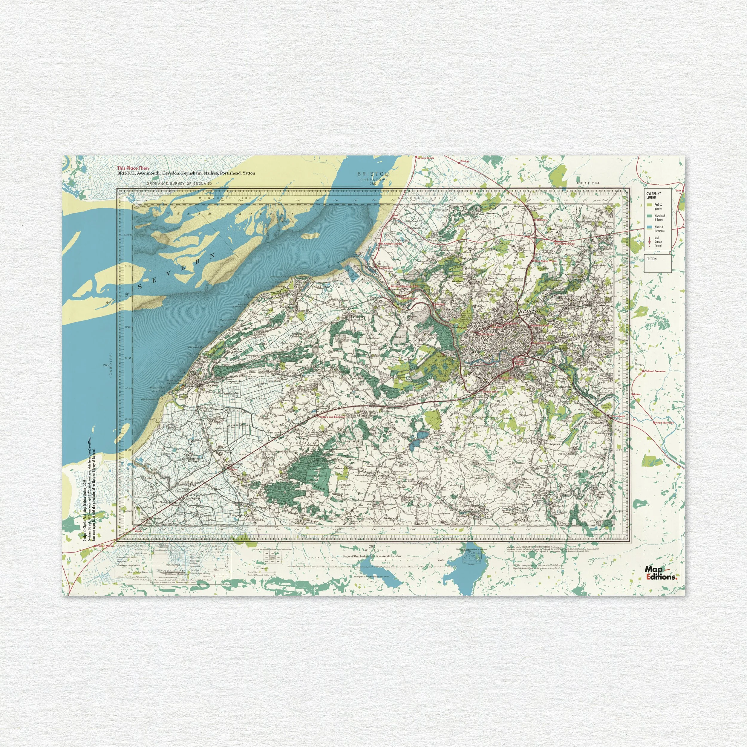
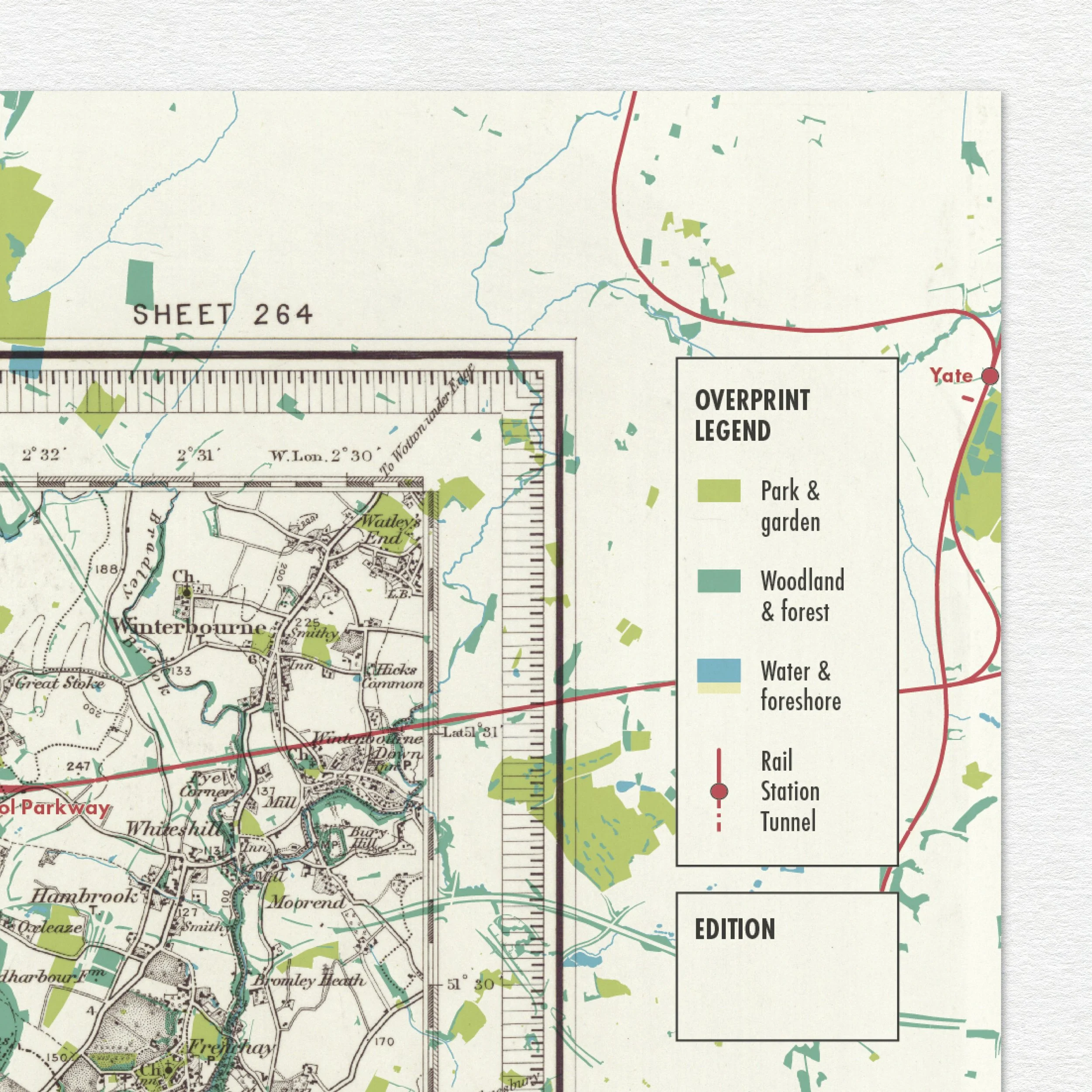
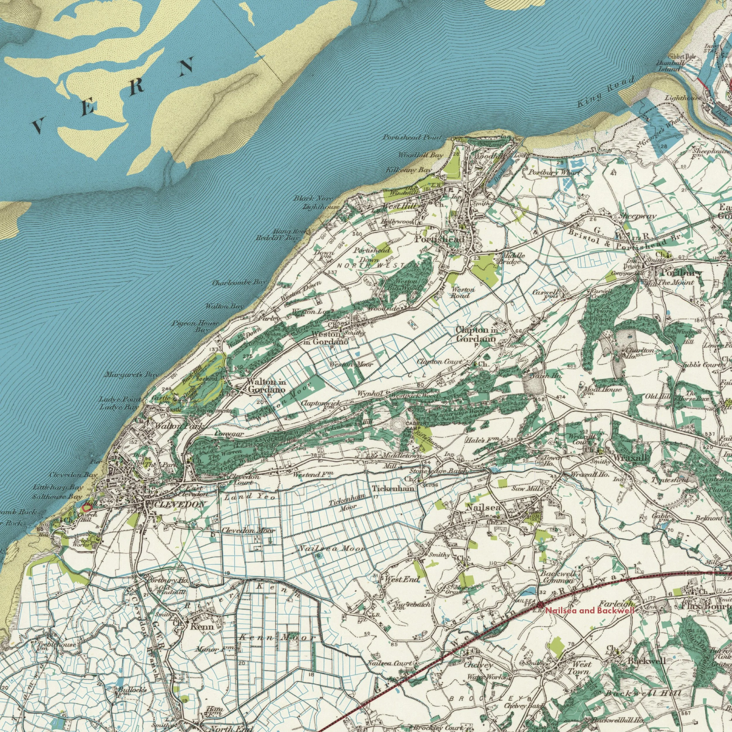
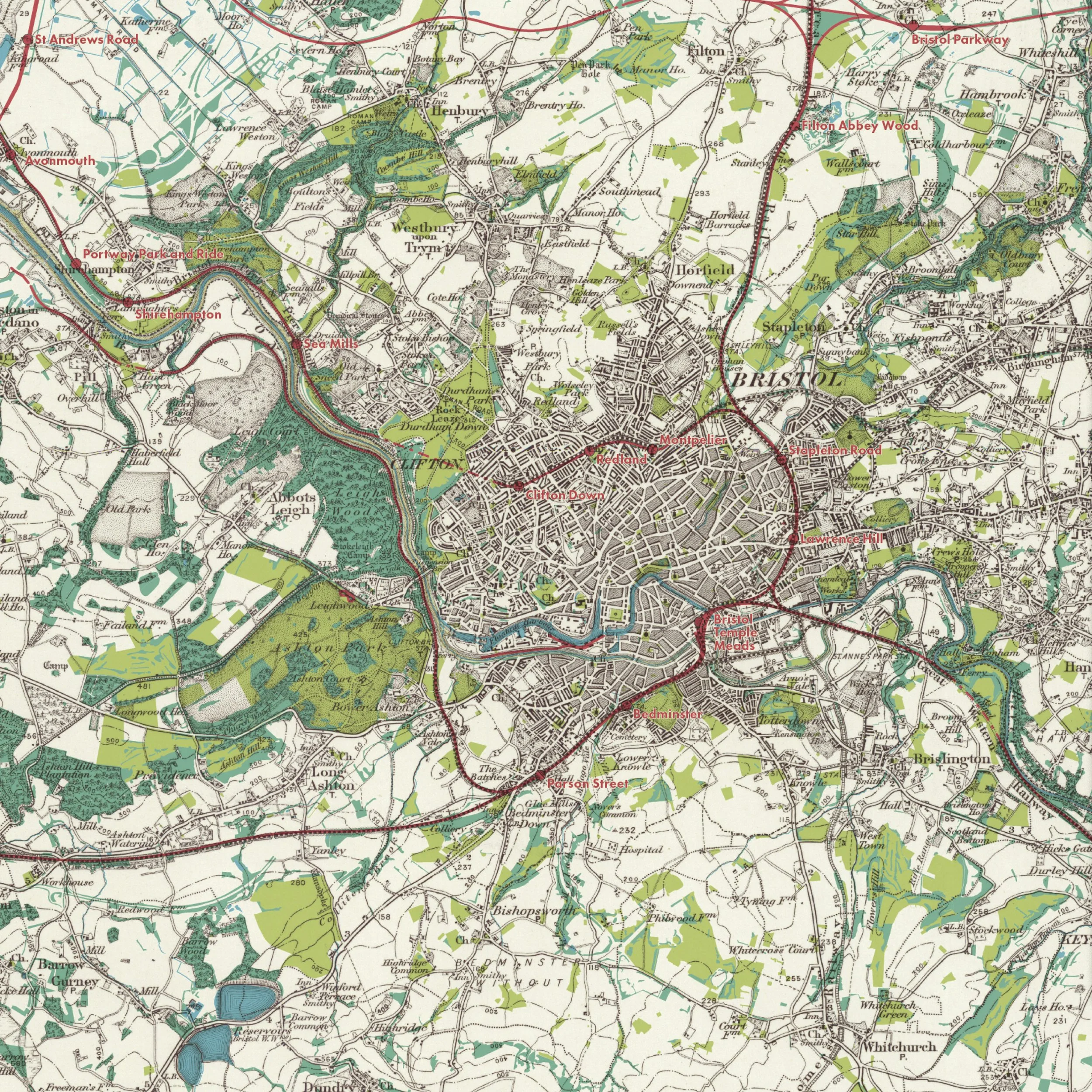
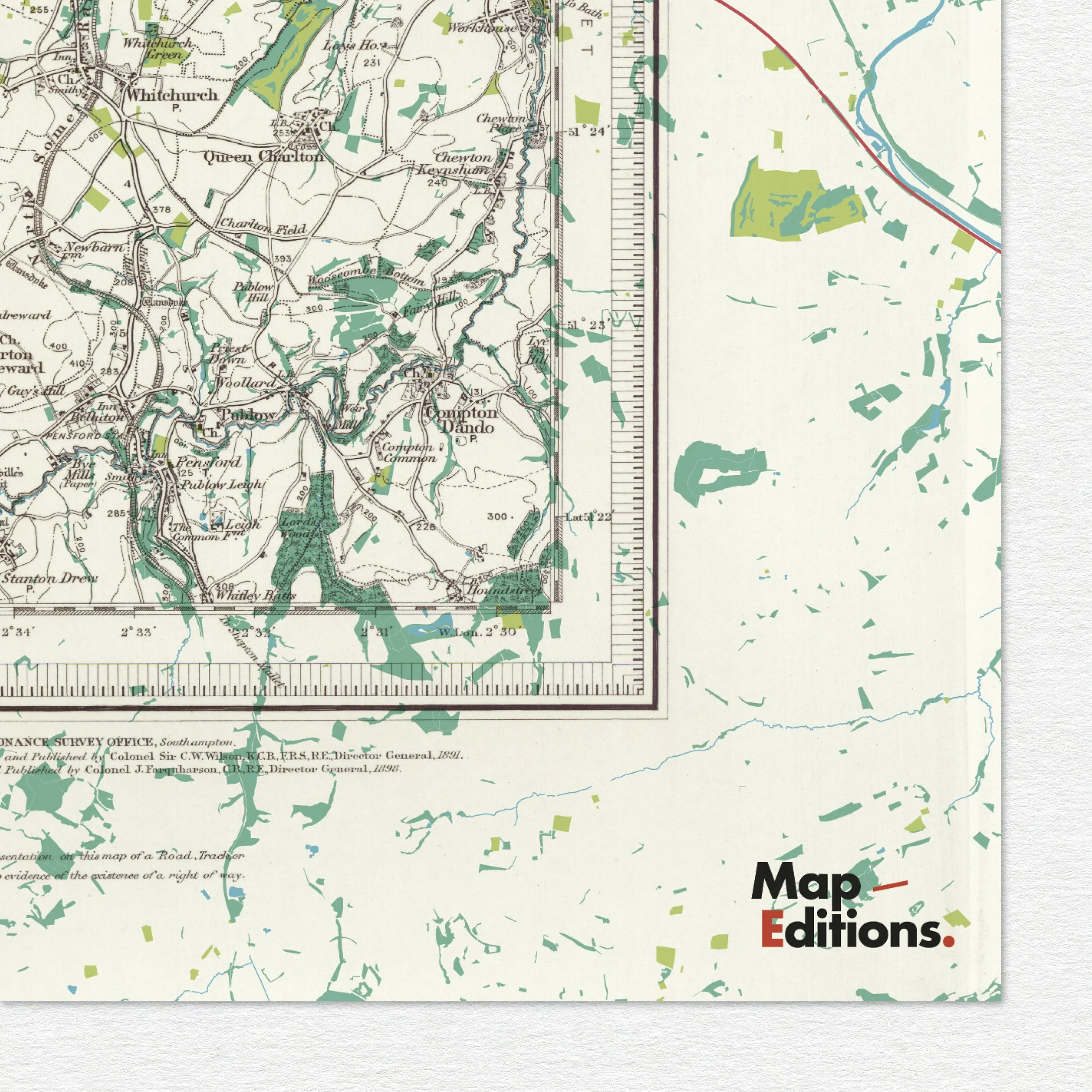
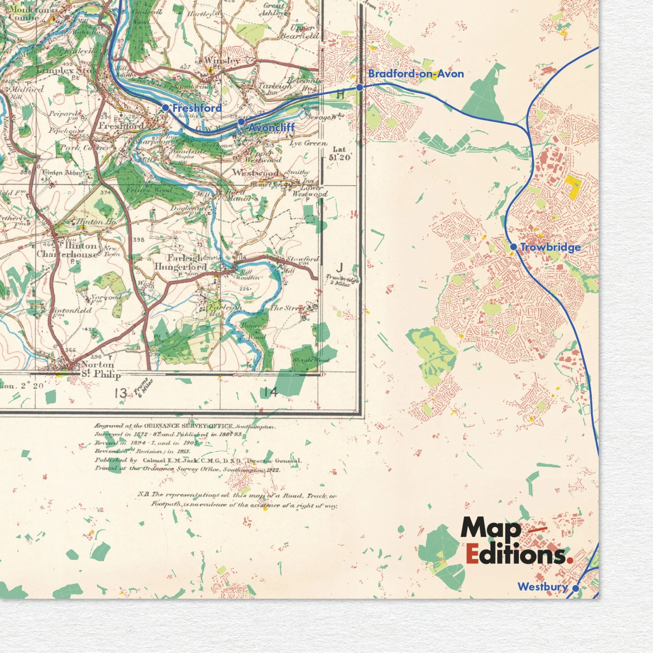
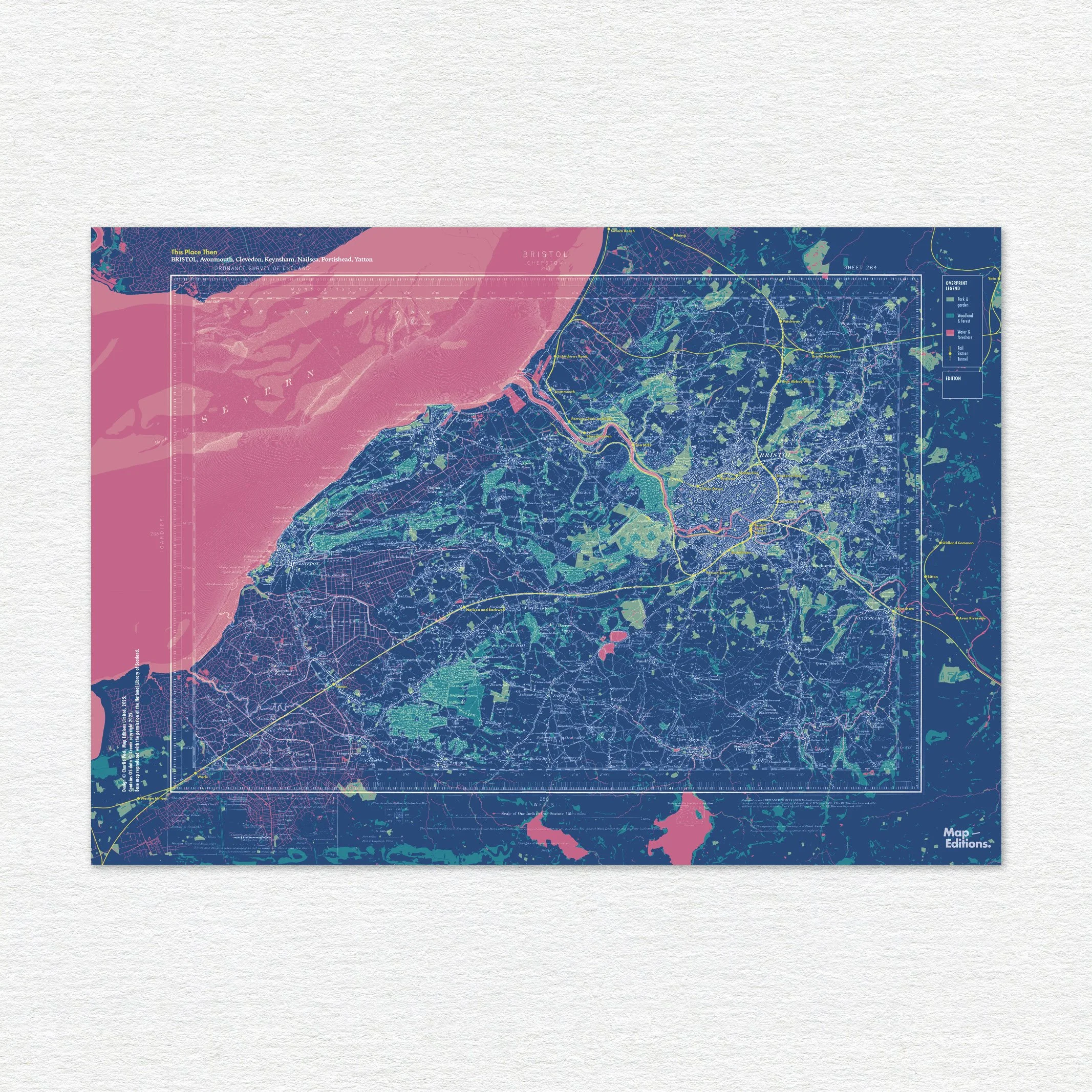
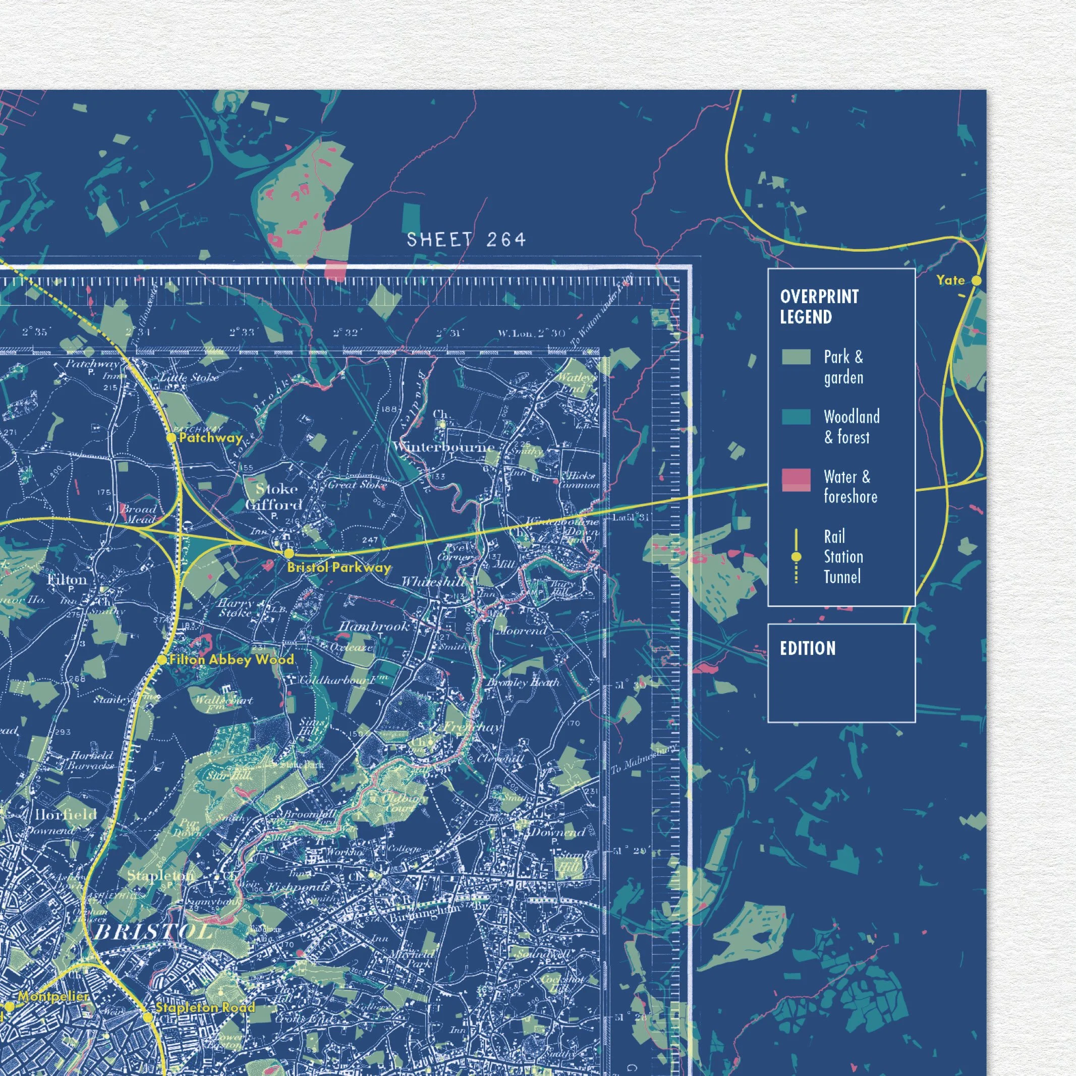
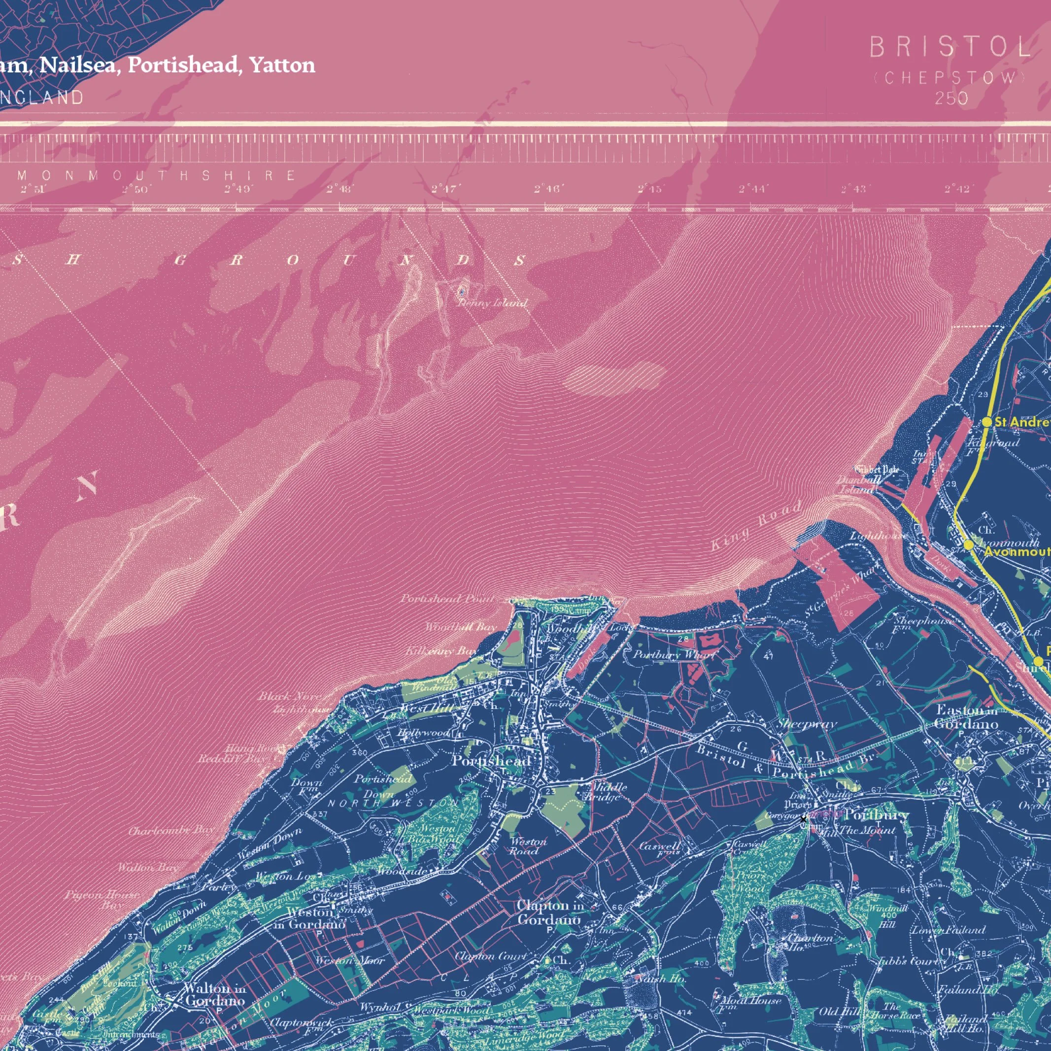
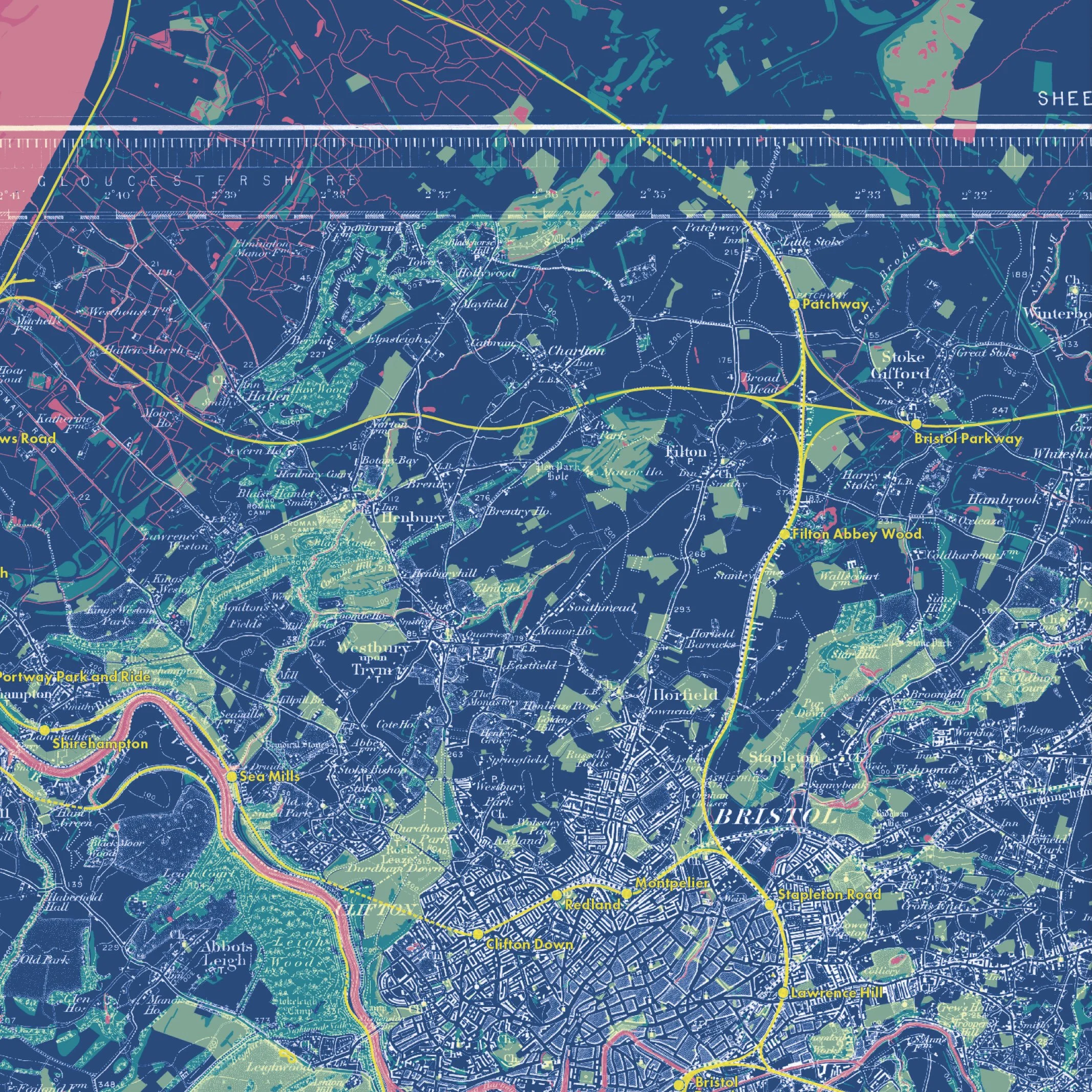
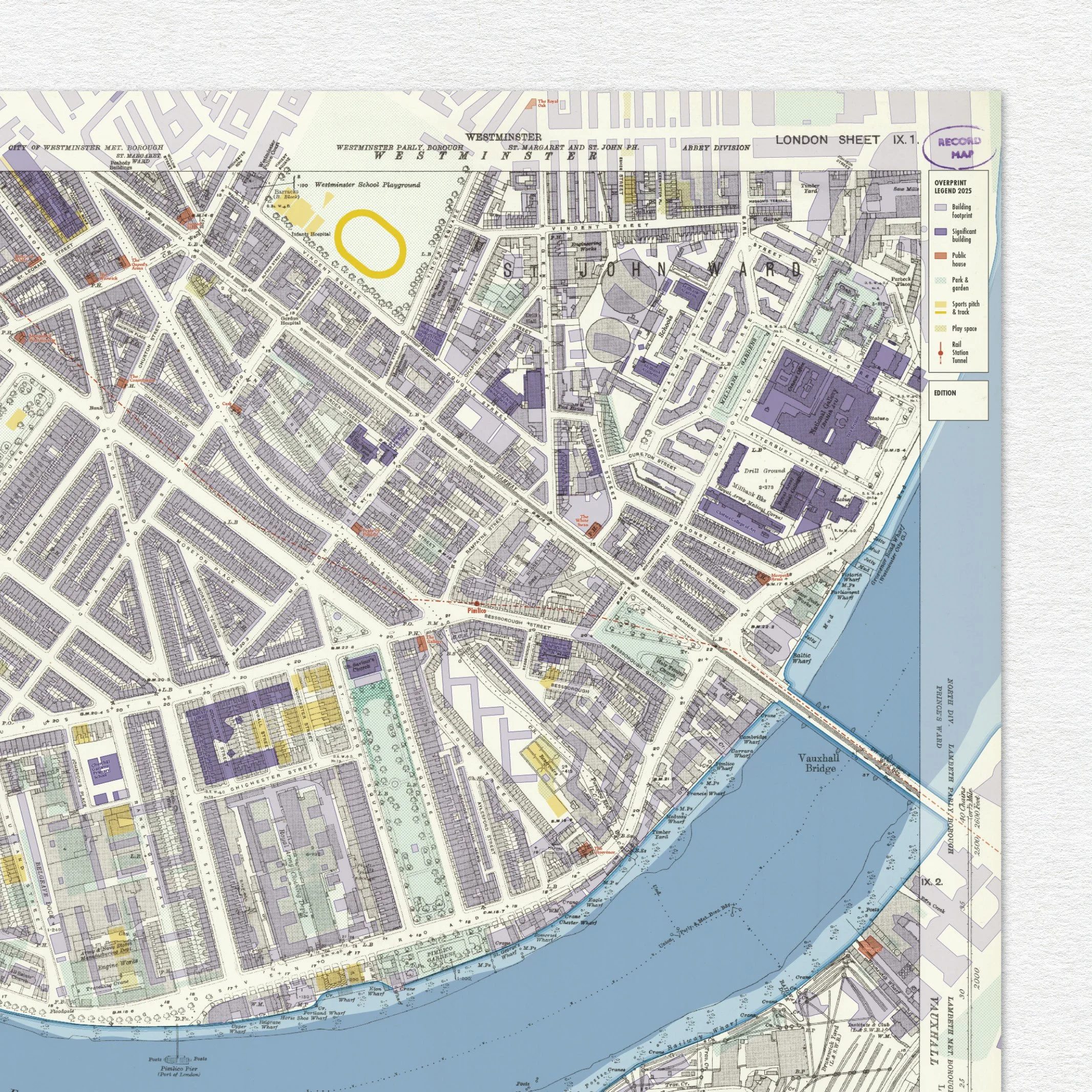
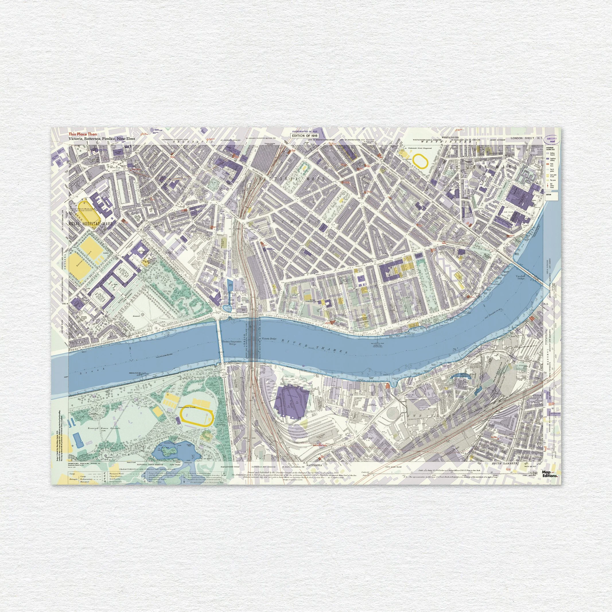
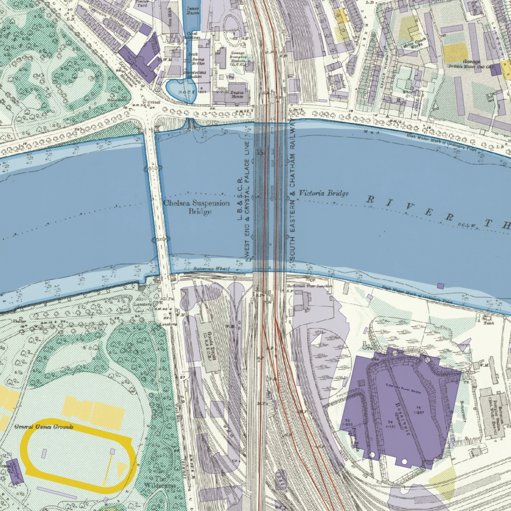
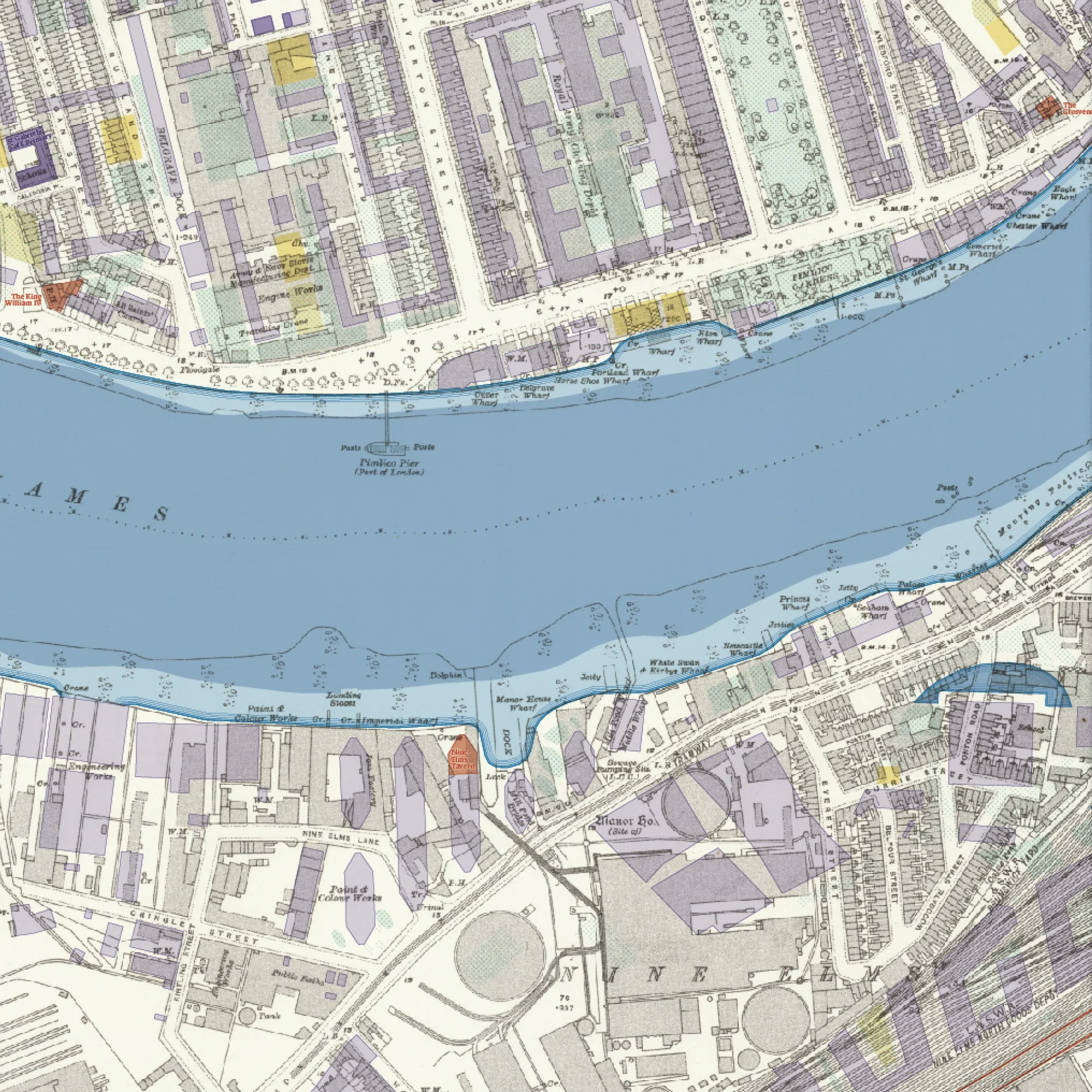
This large-format limited edition map captures a century of transformation across a remarkable corner of London. The base map is drawn from the 1916, 25-inch London Sheet IX.1 Ordnance Survey, overprinted in 2025 to reveal the layers of change: new building footprints, green spaces, sports grounds, woodlands, and significant landmarks such as pubs and cultural buildings.
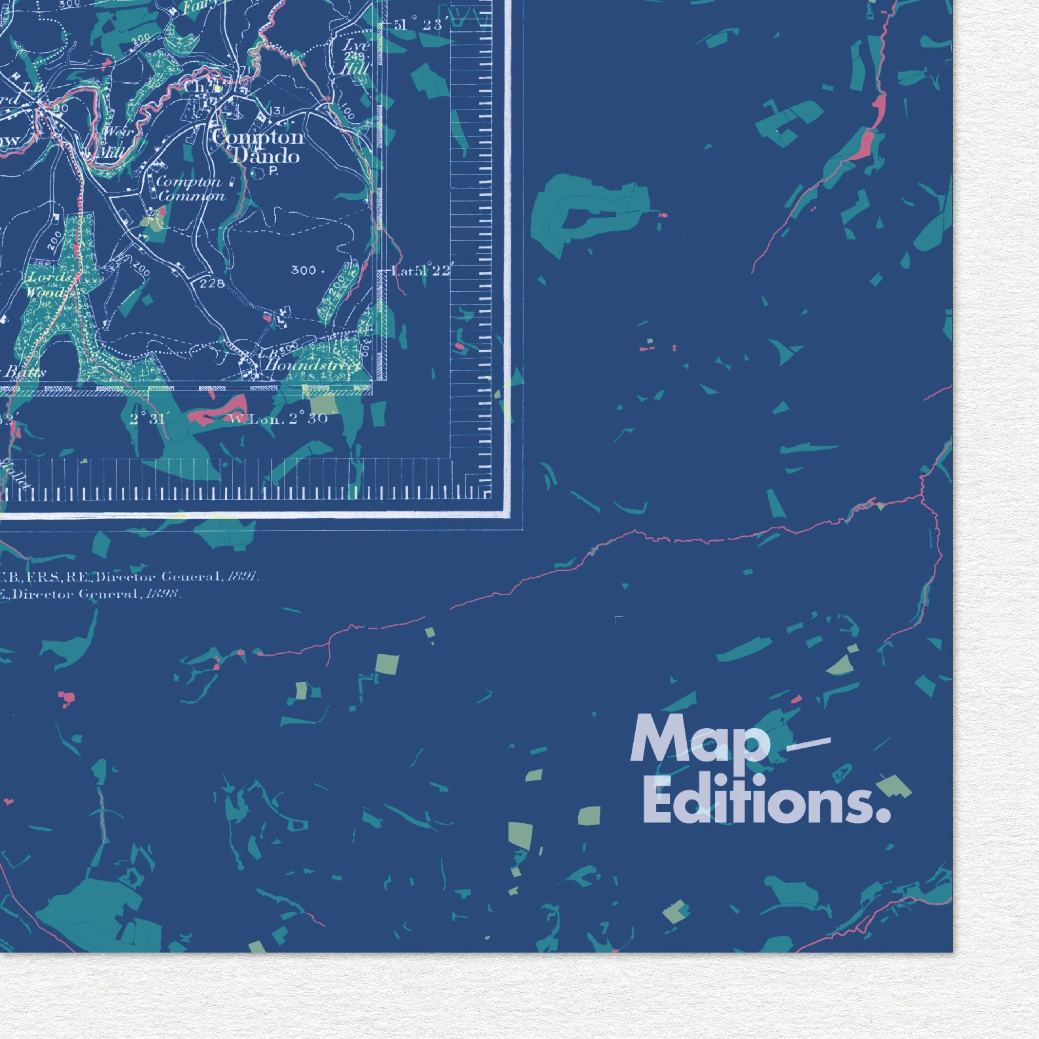
Every edition is created through a process of digital georeferencing high resolution scans of archival OS maps, then aligning contemporary topographical data over the top. The new layers are added to the old maps to create beautiful and sometimes surprising views of how familiar places looked a century earlier. The selection of colours and overlays are chosen for both clarity and aesthetic impact, highlighting the ways landscapes, cities and memories evolve.
Look closely to spot the three distinctive sports tracks, public houses woven into the historic fabric, and the newly revitalised Battersea Power Station — once marshland and reservoirs. The overprint spills intentionally beyond the map’s border, signalling what is new against what was.
Printed on a subtly textured paper with an archival life of 100+ years.
This is the first release in Map Editions’ large-format series.
Reserve number 1 of 25 for an additional £30.
Details:
B1 size (1000 × 700mm)
Paperstock: Innova Décor smooth Art 210gsm
Printed locally by Panopus, Islington to the highest standards
Signed and numbered one of 25. Blind embossed with publisher stamp.
Posted in a secure card tube, rolled in tissue paper
Options:
Unframed: Supplied rolled in a sturdy tube.
A collector’s piece for your wall.
Limited edition, archival fine art print
Edition of 25 | B1 size (700 × 1000mm)
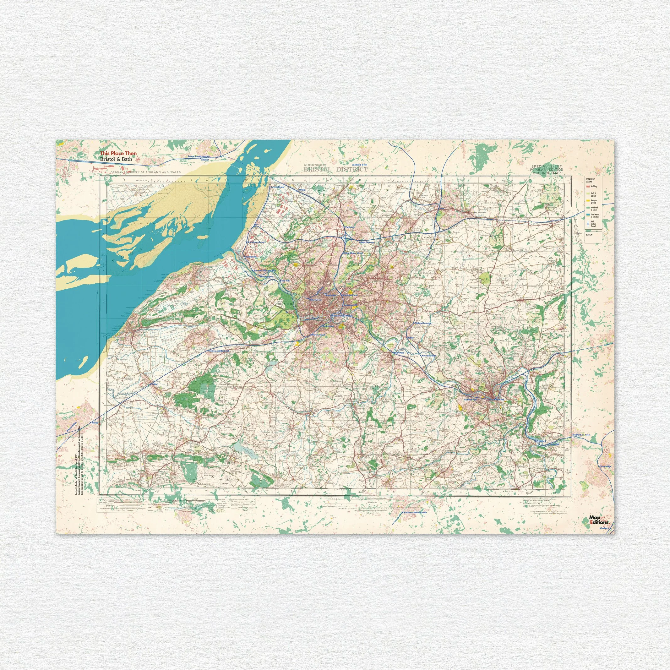
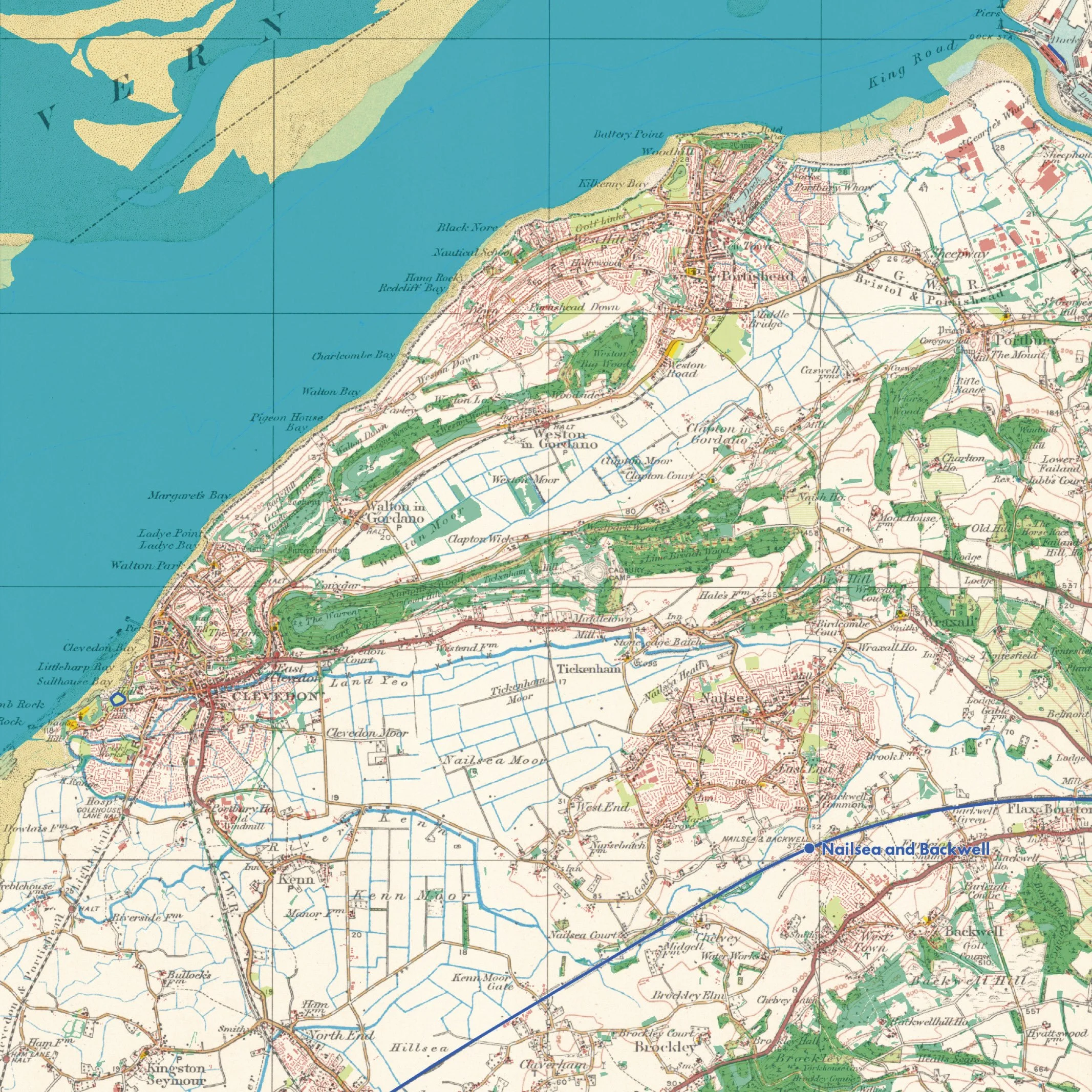
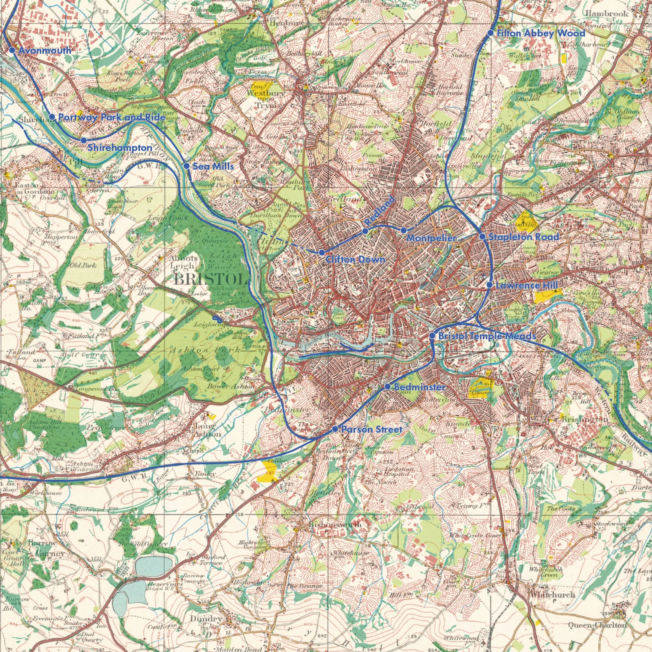
This large-format limited edition map captures a century of transformation across a remarkable corner of London. The base map is drawn from the 1916, 25-inch London Sheet IX.1 Ordnance Survey, overprinted in 2025 to reveal the layers of change: new building footprints, green spaces, sports grounds, woodlands, and significant landmarks such as pubs and cultural buildings.
Every edition is created through a process of digital georeferencing high resolution scans of archival OS maps, then aligning contemporary topographical data over the top. The new layers are added to the old maps to create beautiful and sometimes surprising views of how familiar places looked a century earlier. The selection of colours and overlays are chosen for both clarity and aesthetic impact, highlighting the ways landscapes, cities and memories evolve.
Look closely to spot the three distinctive sports tracks, public houses woven into the historic fabric, and the newly revitalised Battersea Power Station — once marshland and reservoirs. The overprint spills intentionally beyond the map’s border, signalling what is new against what was.
Printed on a subtly textured paper with an archival life of 100+ years.
This is the first release in Map Editions’ large-format series.
Reserve number 1 of 25 for an additional £30.
Details:
B1 size (1000 × 700mm)
Paperstock: Innova Décor smooth Art 210gsm
Printed locally by Panopus, Islington to the highest standards
Signed and numbered one of 25. Blind embossed with publisher stamp.
Posted in a secure card tube, rolled in tissue paper
Options:
Unframed: Supplied rolled in a sturdy tube.
A collector’s piece for your wall.